
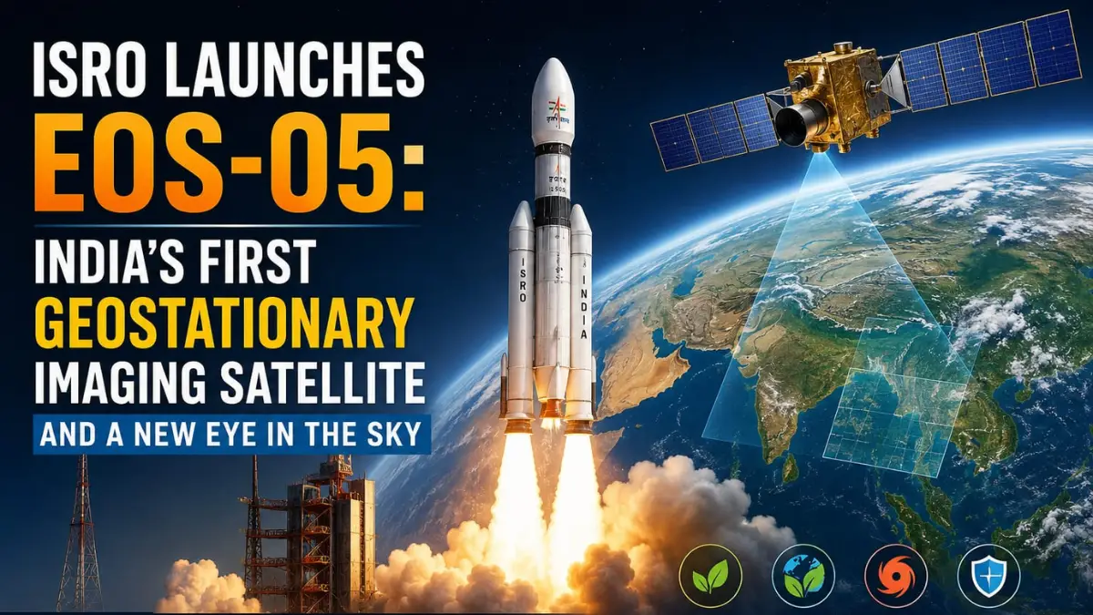
The Indian Space Research Organisation (ISRO) has successfully launched its EOS-05, an advanced Earth observation Satellite, which is designed to provide the high-quality images of the Earth and support the important activities such as the agriculture, the environmental monitoring and the disaster management.
The EOS-05 is an Earth observation satellite. Unlike the communication satellites, which primarily help in the transmission of the signals, the Earth observation satellites collect the information about the planet’s surface. The EOS-05 is designed to provide near-real-time imagery from about 36,000 km above the Earth. This means it can help the scientists and authorities in monitoring the changes on the ground and using that information for the practical purposes.
- How was it launched?
The satellite was launched using the ISRO’s Geosynchronous Satellite Launch Vehicle (GSLV-F17), which one its 19th flight placed the 2,367-kg EOS-05 into its intended sub-geosynchronous transfer orbit ( Sub- GTO). The launch took place from the Satish Dhawan Space Centre in Sriharikota at 2:55 a.m and it took 18 minutes to reach its destination. The satellite was placed into a geosynchronous transfer orbit (GTO), which is an intermediate orbit used to place satellites into higher orbits.
- Why is this launch important?
The launch is significant because the EOS-05 is described as India’s first imaging satellite which is designed to monitor the Earth from the geostationary orbit, which about 36,000 km above Earth.
A satellite in this orbit can observe the same broad region of the Earth continuously, making it useful for monitoring the weather, the environmental changes and the other activities that require regular observation.
It is to be noted that the EOS-05 is India’s first dedicated imaging satellite operating from the geostationary orbit.
- What will EOS-05 be used for?
This satellite will provide the near-real-time imagery that can help in supporting the agriculture (for monitoring the crops and the agricultural conditions), the environment (for monitoring and tracking the changes in the environment), the disaster management (for helping the authorities to monitor and respond to disasters), the national activities (for providing the strategic data to support the important national needs).
For instance, the satellite imagery can help the authorities in assessing the extent of the flooding, monitoring the changes in the land use or observe the agricultural conditions over the large areas.
- What makes the satellite advanced?
The EOS-05 has multi-band imaging capabilities, which means that it can capture the information in different parts of the electromagnetic spectrum, allowing the scientists to study the Earth’s surface in a greater detail. It also highlights the satellite’s ability to provide the near-real-time imagery, which is particularly useful when the information is needed quickly.
- Why is ISRO calling it a relief?
The launch was especially important because it came after two consecutive launch failures.
Initially, the failure of the PSLV-C62 mission in the January 2026, which was carrying an Earth observation satellite, and then the PSLV-C61 mission in the May 2025.
Due to these initial setbacks, the successful launch of the EOS-05 was described as a huge relief for the ISRO, as it demonstrated that the space agency had successfully overcome the problems that had affected its earlier missions.
- What does the experts say about the satellite’s performance?
The officials at the ISRO said that the satellite was operating perfectly. The solar panels are deployed and that the satellite’s health was being monitored.
It also says that the performance of the launching vehicle had been improved by optimising the structural mass and improving the propulsion systems.
- What is the larger significance?
This mission shows how India is using its space technology not just for scientific research, but also for the practical development and the national needs.
The satellite imagery can help the governments to make better decisions about the agriculture, the environmental protection and the disaster response. It can also strengthen the ability of India to monitor its territory and support the strategic activities undertaken by it.
In simple words, the EOS-05 is like an “eye in the sky” that can continuously observe the Earth and provide the useful information to the people on the ground.